 Photo: Vijayanrajapuram · CC BY-SA 4.0 · source ↗
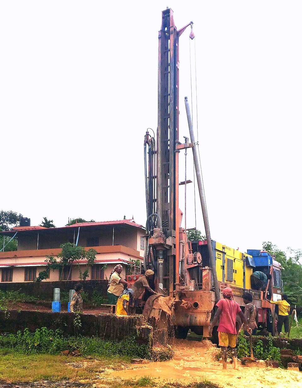
Borewell siting (geological and traditional methods)
Borewell siting is the process of selecting drill points likely to intersect productive aquifer zones. Scientific siting relies on surface geophysical surveys to map subsurface resistivity contrasts that signal water-bearing fractures or weathered horizons. Traditional folk methods such as coconut rolling and divining rods remain in farmer practice but have no documented predictive accuracy.
Identification
The Central Ground Water Board (CGWB) standard tool-kit for surface siting includes Vertical Electrical Sounding (VES), Wenner and gradient resistivity profiling and multi-electrode resistivity imaging. After a bore is drilled, borehole geophysical logs (spontaneous potential, single-point resistance, short- and long-normal resistivity, and natural gamma) characterise the producing horizons.
Interpretation
One-dimensional inversion of a VES sounding in hard-rock terrain typically resolves three resistivity layers: a high-resistivity topsoil, a low-resistivity weathered zone where most groundwater is stored, and a higher-resistivity fractured bedrock at depth. Productive bores are placed where the weathered-zone signal is thickest or where lineaments and fracture traces suggest open structural pathways. Multi-electrode imaging produces a vertical cross-section that helps target individual fracture zones.
Adoption context
Scientific siting reduces drilling cost and dry-bore failures, particularly in hard-rock orchard zones where each unsuccessful drill represents significant lost capital. CGWB and state ground water departments offer survey services, and private geophysicists are widely engaged for commercial holdings. Siting is complemented by recharge practices such as Rainwater Recharge Pits to extend the productive life of successful bores.
Limitations
Geophysical surveys cannot guarantee yield: a thick weathered layer or fracture signal may still produce a dry bore if the fracture network is not hydraulically connected to a recharge source. Surveys are also less informative in deep alluvial settings where lithological contrast is muted. Traditional folk methods, although culturally established, are not supported by predictive evidence.
Related entries
See also: Borewell, Horizontal Borewell, Rainwater Recharge Pits.
References
- Geophysical Exploration. Central Ground Water Board.
- Geophysical resistivity survey (VES) for borewell siting. International Information and Engineering Technology Association.