 Photo: Pradeep Thakur · Pexels License · source ↗
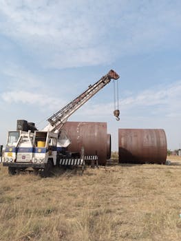
Horizontal (lateral) borewell
A horizontal or laterally angled borewell is a shallow, near-horizontal drill that follows a freshwater horizon to extract irrigation water without intersecting an underlying saline layer. The technique is most relevant in coastal Andhra Pradesh and Tamil Nadu, where shallow water tables sit above brackish groundwater and a deeper vertical bore would tap salt water unsuitable for irrigation.
Principle
In coastal aquifers a freshwater lens floats on saltwater because of density contrast. A shallow horizontal or sub-horizontal bore skims this freshwater lens, drawing fresh supply while leaving the salt-water interface undisturbed. The geometry contrasts with conventional Borewell practice, which drills vertically through the lens into deeper, often brackish, zones.
Implementation
CGWB reports that coastal Andhra Pradesh has shallow water tables typically 5-10 metres below ground level. Drillers and CGWB exploration teams use shallow boreholes inclined to follow the freshwater horizon. The bore is cased through the upper soil and screened in the producing freshwater zone. Drilling angle and depth are matched to local hydrogeology, often informed by Borewell Siting Methods.
Adoption context
In coastal saline soils where vertical bores fail or yield brackish water, horizontal bores can unlock fresh supply for irrigation of paddy, coconut and vegetables. The approach pairs naturally with reclamation measures for saline paddy fields covered under Saline Soil Paddy Management.
Limitations
Over-extraction can pull the salt-water interface upward, contaminating future supply; CGWB's National Aquifer Mapping (NAQUIM 2.0) gives priority to coastal aquifers because salt-water/freshwater interface monitoring is critical to long-term sustainability. Yields are also constrained by lens thickness, which varies seasonally with rainfall recharge.
Related entries
See also: Borewell, Borewell Siting Methods, Rainwater Recharge Pits, Saline Soil Paddy Management.
References
- Aquifer systems of Andhra Pradesh. Central Ground Water Board.
- Aquifer Mapping (NAQUIM). Central Ground Water Board.
- Ground Water Level Monitoring. Central Ground Water Board.