 Photo: Vijayanrajapuram · CC BY-SA 4.0 · source ↗
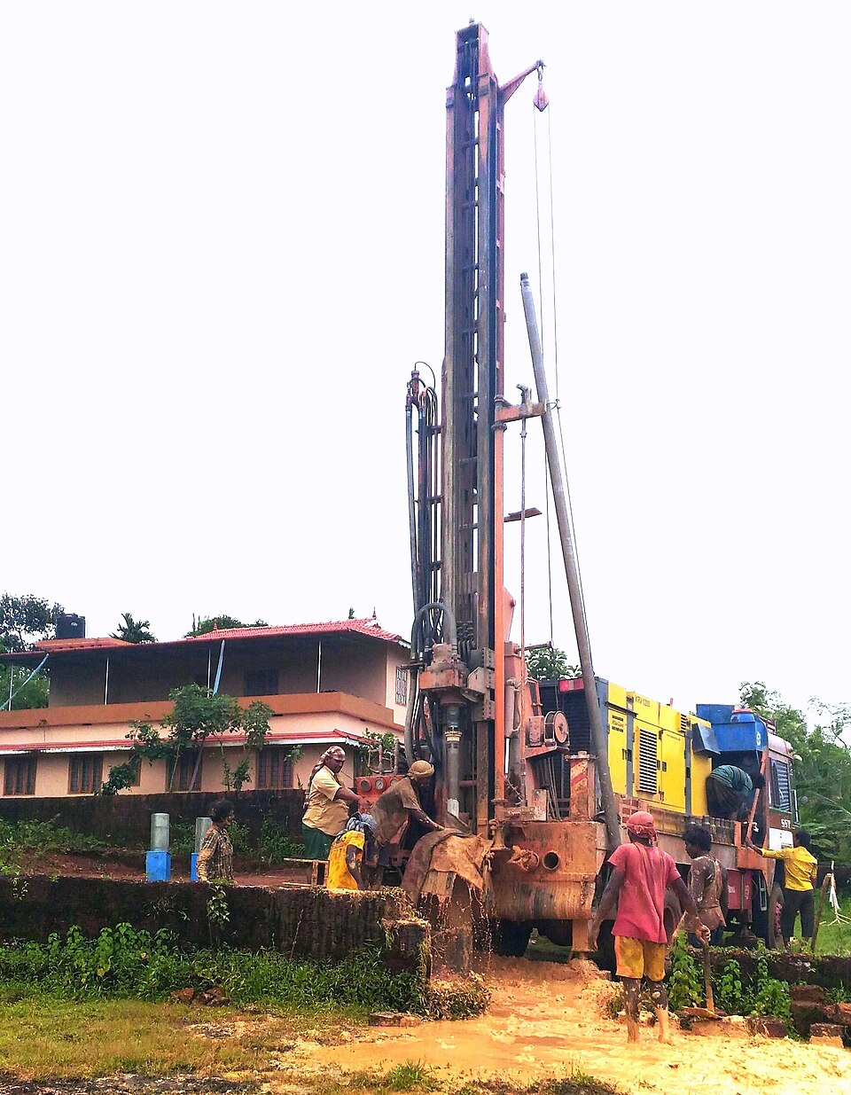
Borewell siting (geological and traditional methods)
బోర్వెల్ సైటింగ్ (భౌగోళిక, సాంప్రదాయ పద్ధతులు)
బోర్వెల్ సైటింగ్ అంటే ఉత్పాదకమైన aquifer జోన్లను తాకే అవకాశం ఉన్న డ్రిల్ పాయింట్లను ఎంచుకునే ప్రక్రియ. శాస్త్రీయ సైటింగ్లో surface geophysical surveys ద్వారా subsurface resistivity contrasts (నీటిని కలిగి ఉన్న పగుళ్లు లేదా weathered horizons) మ్యాప్ చేస్తారు. కొబ్బరికాయ దొర్లించడం, divining rods వంటి సాంప్రదాయ పద్ధతులు రైతుల్లో ఇంకా వాడుకలో ఉన్నాయి కానీ వాటికి documented predictive accuracy లేదు.
గుర్తింపు
Central Ground Water Board (CGWB) surface సైటింగ్ కోసం స్టాండర్డ్ tool-kit లో — Vertical Electrical Sounding (VES), Wenner, gradient resistivity profiling, multi-electrode resistivity imaging ఉంటాయి. బోర్ డ్రిల్ చేసిన తర్వాత, borehole geophysical logs (spontaneous potential, single-point resistance, short- and long-normal resistivity, natural gamma) ఉత్పాదక horizons లక్షణాలను తెలుపుతాయి.
వ్యాఖ్యానం
హార్డ్-రాక్ ప్రాంతంలో VES sounding యొక్క one-dimensional inversion సాధారణంగా మూడు resistivity పొరలను రిజాల్వ్ చేస్తుంది: అధిక-resistivity ఉన్న topsoil, తక్కువ-resistivity ఉన్న weathered zone (ఎక్కడ ఎక్కువ భూగర్భ జలాలు నిల్వ ఉంటాయి), లోతులో ఉన్న ఎక్కువ resistivity fractured bedrock. weathered-zone సిగ్నల్ ఎక్కడ మందంగా ఉందో లేదా lineaments, fracture traces ద్వారా open structural pathways ఉన్నాయని తెలిసిన చోట ఉత్పాదక బోర్లు వేస్తారు. Multi-electrode imaging ఒక vertical cross-section ఇస్తుంది, దీనితో individual fracture zones లక్ష్యం చేయవచ్చు.
వాడకం
శాస్త్రీయ సైటింగ్ డ్రిల్లింగ్ ఖర్చును, dry-bore failures ను తగ్గిస్తుంది — ముఖ్యంగా హార్డ్-రాక్ ఆర్చర్డ్ ప్రాంతాల్లో ప్రతి విఫల డ్రిల్ గణనీయమైన నష్టం. CGWB, రాష్ట్ర ground water శాఖలు సర్వే సేవలను అందిస్తాయి. వాణిజ్య హోల్డింగ్లకు ప్రైవేట్ geophysicists బాగా వినియోగించుకుంటారు. విజయవంతమైన బోర్ల ఉత్పాదక జీవితాన్ని పెంచడానికి Rainwater Recharge Pits వంటి recharge practices సైటింగ్కు అనుబంధంగా ఉంటాయి.
పరిమితులు
Geophysical surveys దిగుబడిని హామీ ఇవ్వలేవు: మందమైన weathered layer లేదా fracture signal ఉన్నా, fracture network recharge sourceకు hydraulically కనెక్ట్ కాకపోతే dry bore రావచ్చు. lithological contrast తక్కువగా ఉన్న deep alluvial settings లో surveys ఎక్కువ informative కాదు. సాంప్రదాయ folk methods సాంస్కృతికంగా స్థాపితమైనా, predictive evidence ద్వారా సపోర్ట్ లేదు.
సంబంధిత పేజీలు
ఇవి కూడా చూడండి: Borewell, Horizontal Borewell, Rainwater Recharge Pits.
మూలాలు
- Geophysical Exploration. Central Ground Water Board.
- Geophysical resistivity survey (VES) for borewell siting. International Information and Engineering Technology Association.